IMMISem – calculation of emissionscalculation of emissions of road traffic based on Handbook emission factors for road transport (HBEfa) and VDI 3782 Blatt 7 cold start model for different road conditions integrated Level-of-Service model modelling of vehicle-specific emissions determination of emission time series
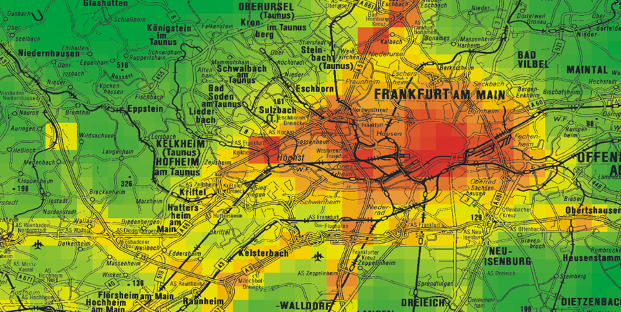
IMMISnet – background concentration | IMMISluft – citywide screeningIMMISarc – GIS integration of IMMIS modelsintegration of IMMIS■■■ models into the geogra-phical information systems ArcGIS® and MapInfo® model data = GIS data (no redundancies) editing, correction, completion and adjustment of data using the editing tools of the GIS results of calculation as GIS data for direct processing support of ESRI’s geodatabase
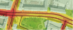
| IMMIScpb – micro scale calculations in street canyonsIMMISmt – screening system for real-time monitoringmonitoring system for city-wide calculation of air pollution based on constantly updated traffic data real-time modelling scalable and modular Module for database-based archiving system Module for visualization of input data and model results on the website immis-mt.ivu-umwelt.de Module for prediction of city-wide air pollution levels
|